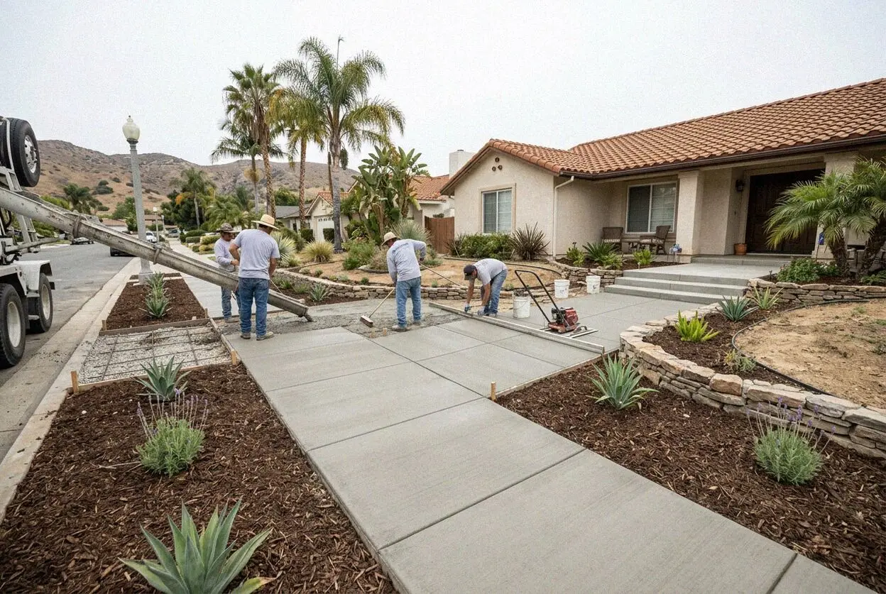
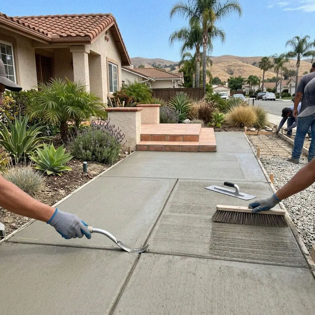
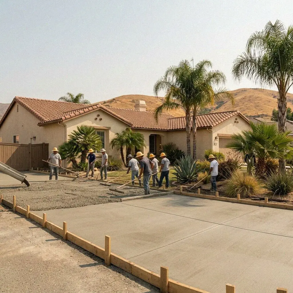
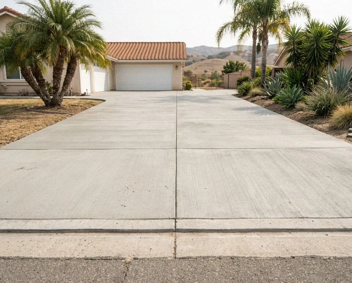
Two facts decide almost every walk in this city: what the ground does through the year, and the fact that two thirds of the concrete was poured between 1950 and 1979.
Myford sandy loam runs under most of the city. It digs like sand for a foot, then meets a dense horizon near 40 percent clay, linear extensibility 6.4. That layer swells on the winter rain and gives it back over a summer averaging 84 degrees in July, and a 4-inch walk laid straight over it rides up and down at the panel edges. Nearer the old creek line through downtown it gives way to Metz loamy sand, which behaves. Your own frontage can be looked up on the USDA Web Soil Survey.
The second fact is age. Of 52,300 housing units here only about 1,500 predate 1940, while 33,200 went up in the three decades after 1950, so the walks failing now were poured 45 to 75 years ago and have had that many winters of movement. One corner of the city sits outside all of this: the Pico-Carhart streets are covered by rural design guidelines and were built with no curb and no walk at all, so there the question is whether anything goes in at all, and that one is Planning's.